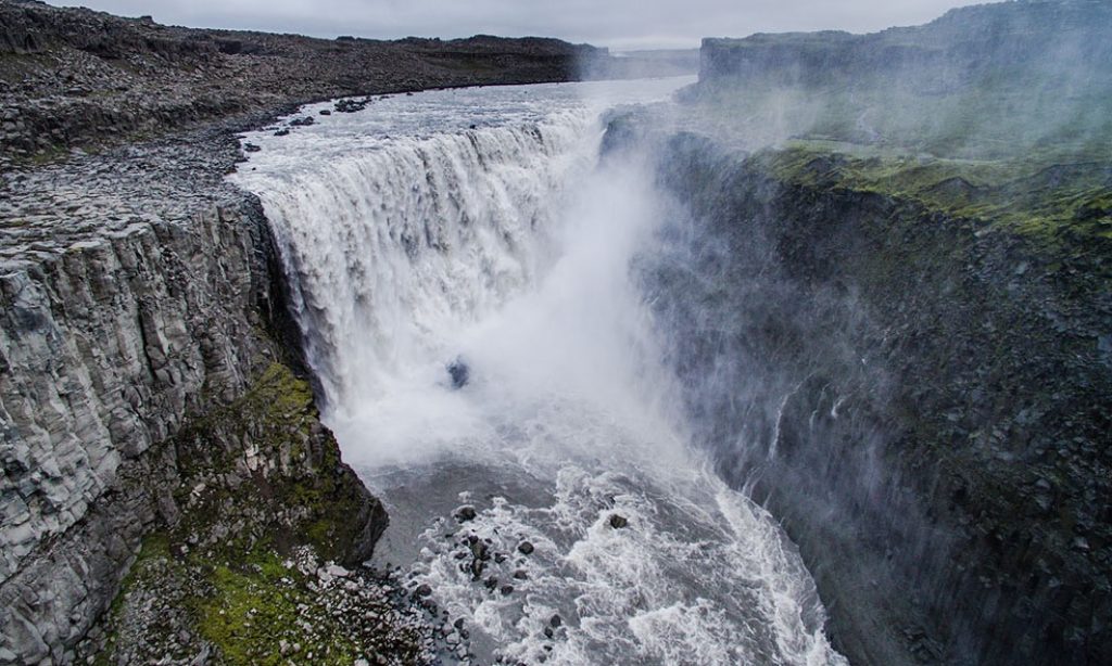
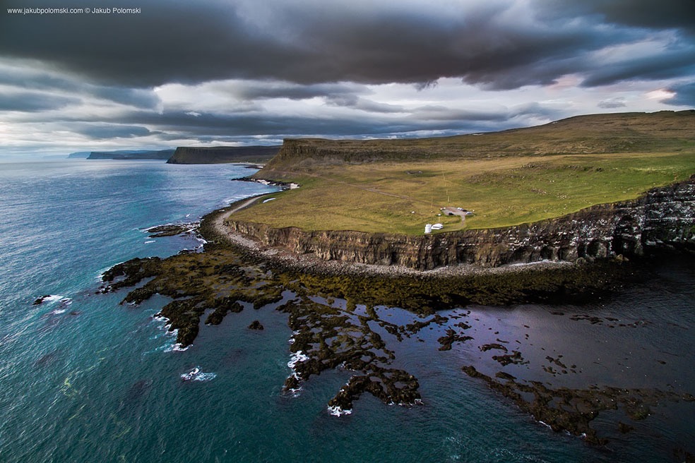
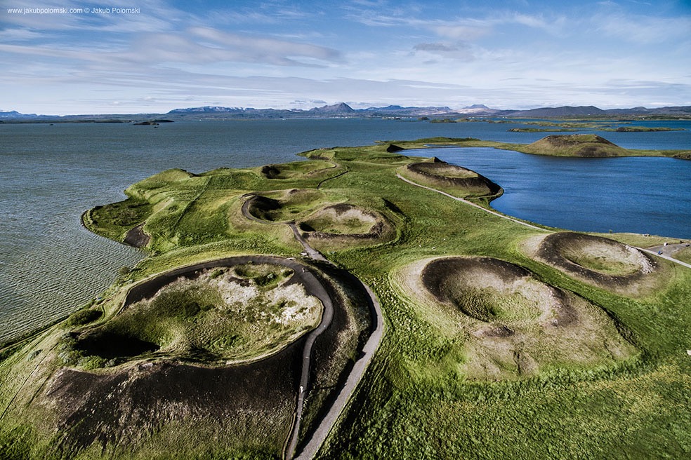
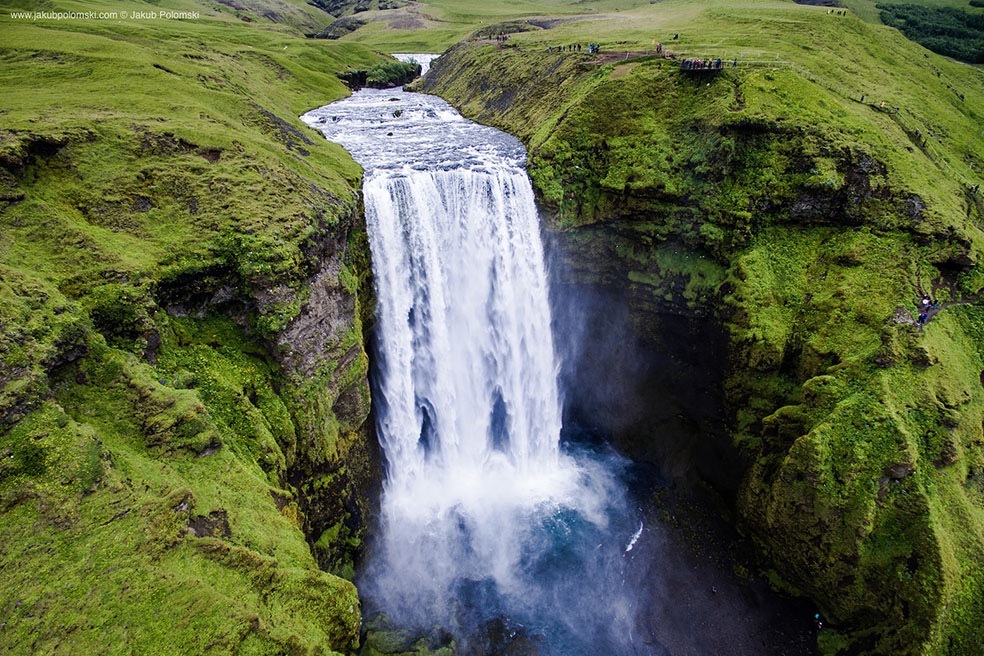
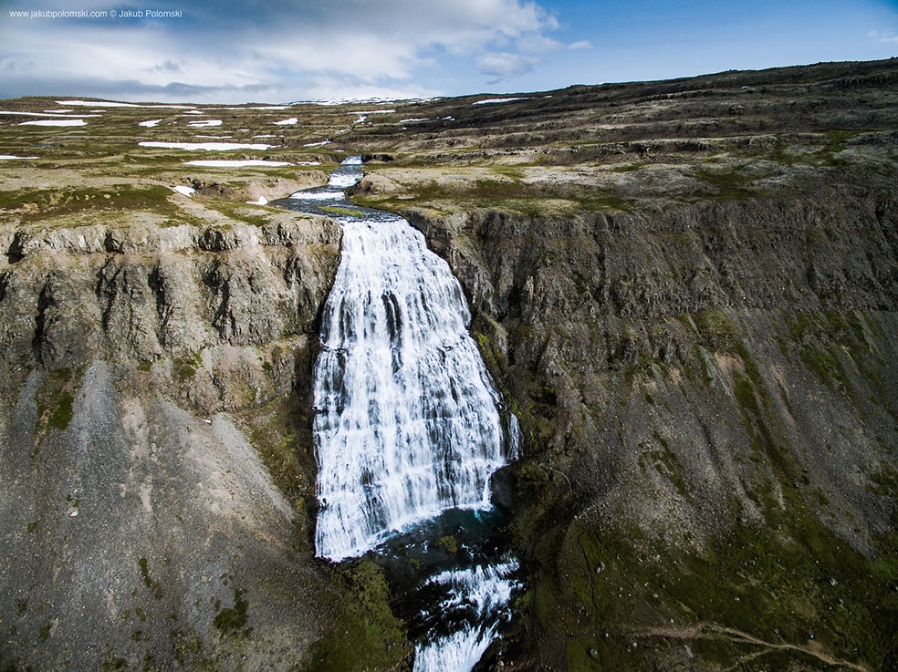
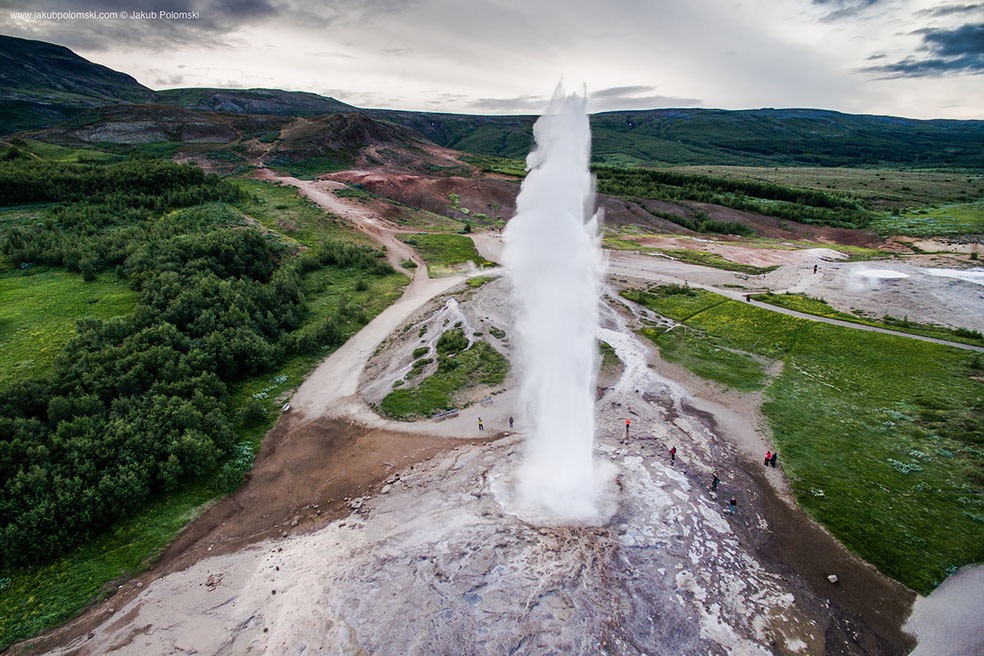
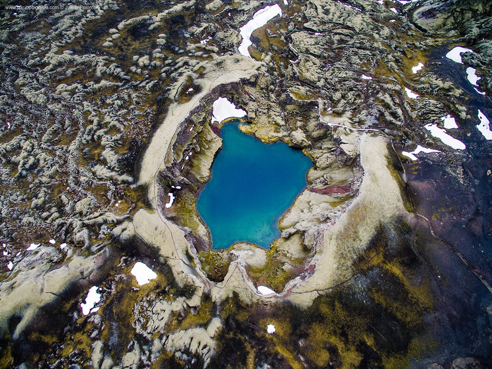
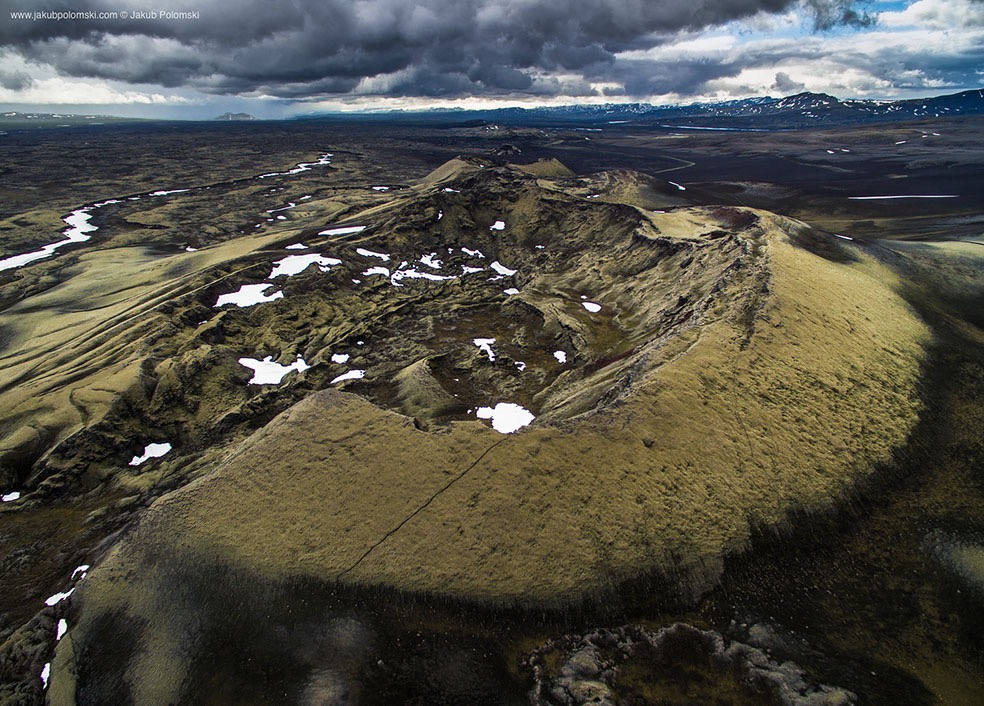
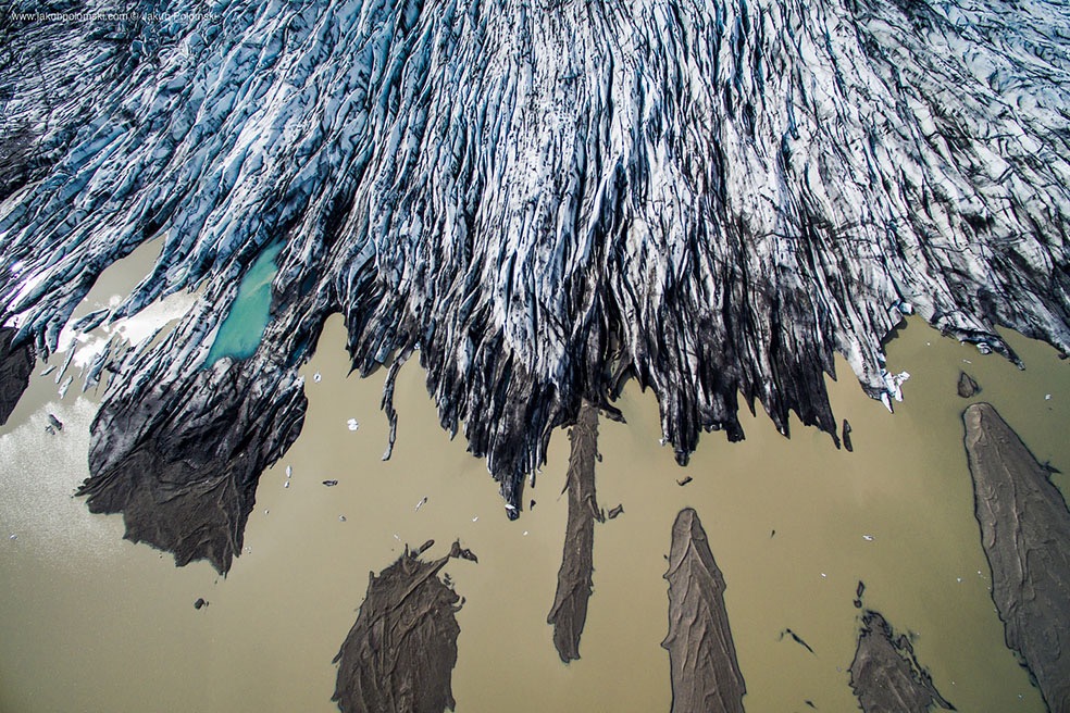
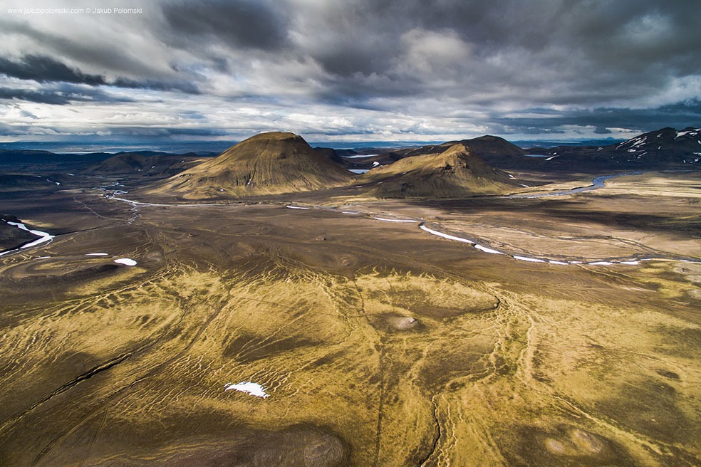
In July 2015 during two weeks time Polish photographer Jakub Polomski drove 4000 km including seaside and interior. For taking photos he was using both DSLR and drone with built-in camera. Iceland is unique land, however some locations look really abstractive in the bird’s eye view.
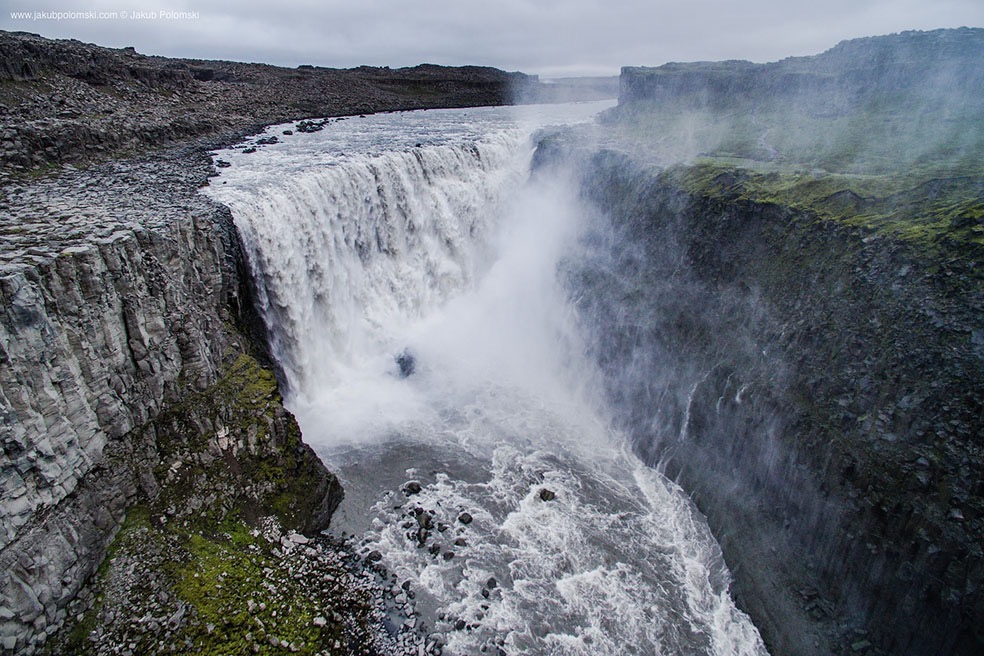
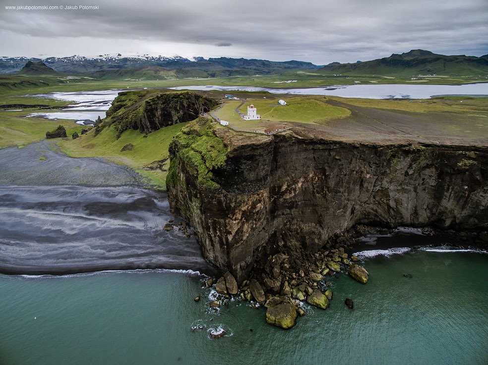
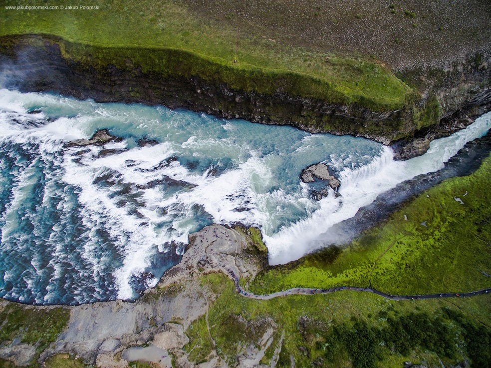
All photos were captured by drone with 12Mpix camera. Jakub took photos in following locations: Gullfoss, Þingvellir, Dimmu Borgir, Dettifoss, Myvatn, Vik, Geysir, Grindavik, Skógafoss, Jökulsárlón, Hvalfjörður, Flateyri, Kerlingarfjöll, Fláajökull, Skálafellsjökull, Fjallfoss, Berufjörður, Lakagígar, Látrabjarg, Berserkjahraun, Friðland að Fjallabaki, Álftafjörður, Vestfirðir.
Jakub Polomski, based Cieszyn, Poland in landscape photographer, National Geographic prize & other awards winner. His works are frequently published worldwide.
Website: jakubpolomski.com
© Jakub Polomski
© Jakub Polomski
© Jakub Polomski
© Jakub Polomski
© Jakub Polomski
© Jakub Polomski
© Jakub Polomski
© Jakub Polomski
© Jakub Polomski
© Jakub Polomski
© Jakub Polomski
© Jakub Polomski