The Bünting Clover Leaf Map (also known as “The World in a Cloverleaf”) is an historic map drawn by the German Protestant pastor, theologist, and cartographer Heinrich Bünting. This map is a figurative illustration, depicting the world via a clover shape where the city of Jerusalem stand and represented in the centre, surrounded by three central continents. It is such a strong image, once one sees it, it cannot be forgotten. The city of Jerusalem appear in additional historical maps as the center of the world, but differences in faith and religion are at the core of the city’s DNA. Over the course of thousands of years, Jews, Christians, and Muslims look up to Jerusalem as it has been dedicated to each of these three religions – The Jews determined the place of their temple and called it “their center of the world”. The Christians remember the resurrection and ascension of Jesus from their messiah to heaven, where they expect his return, while the Muslims point out the place where Mohammed ascended to heaven on a miraculous night journey. It is a place of coexistence and highly populated with synagogues, churches and mosques. It serves as a gate that once entered, carry each prayer, to it’s believer’s Heaven.
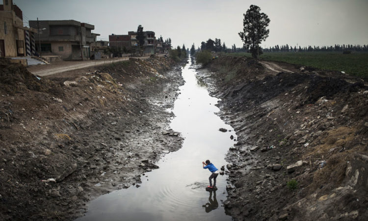
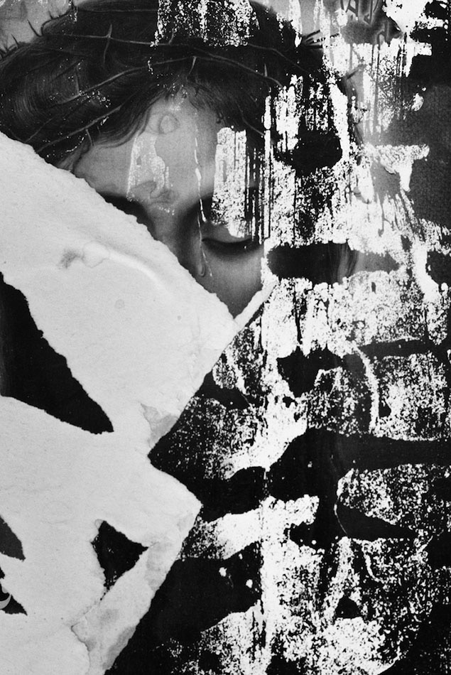
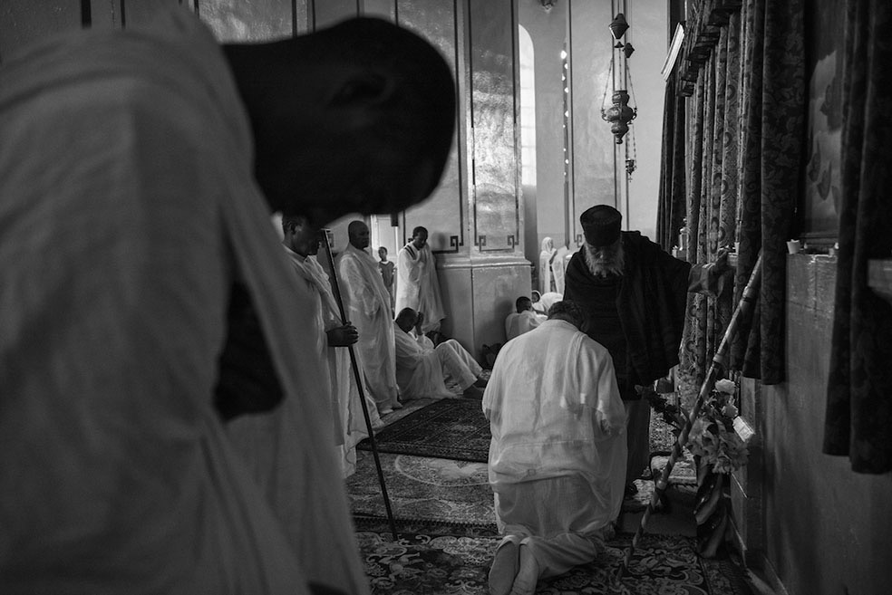
Coexistence © Ofir Barak
Ofir Barak was born in Jerusalem, Israel, in 1982. In 2011, he completed his B.A. in humanities. In 2014, he began working in his multi layered project regarding religion. His work largely concentrates on the three major religions in the city – Judaism, Christianity and Islam and the people behind them. His work has won numerous awards and mentions and is exhibited in both personal collections and galleries across the world.
Website: ofirbarak.com
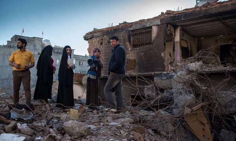
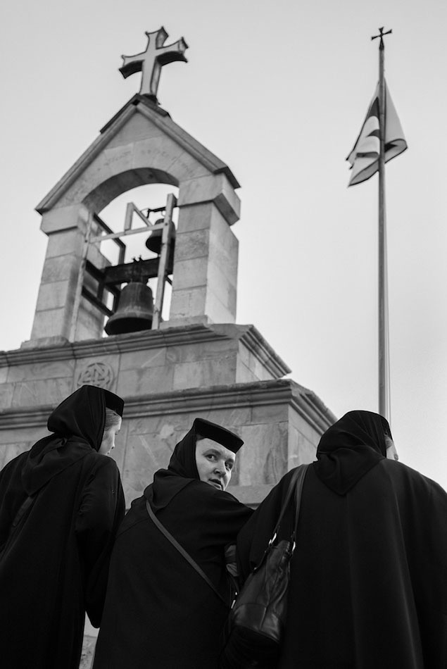
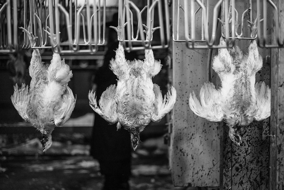
Coexistence © Ofir Barak
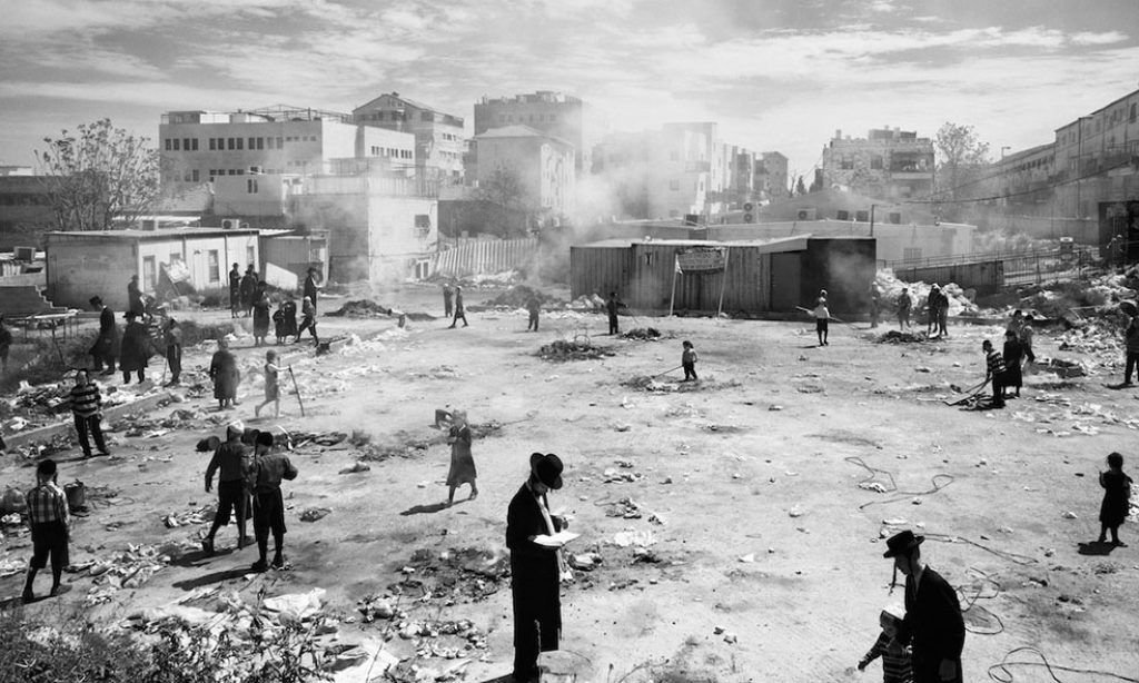
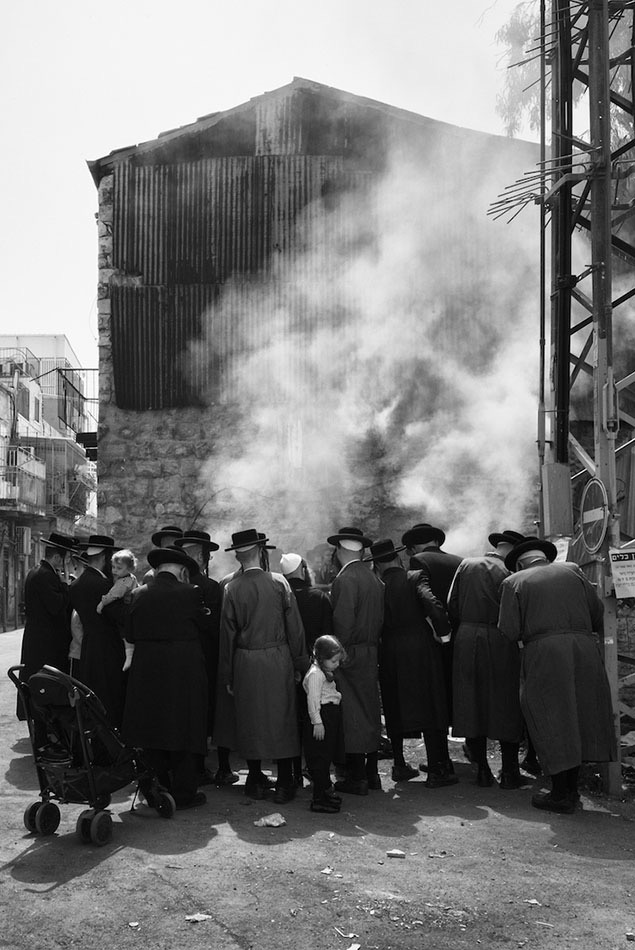
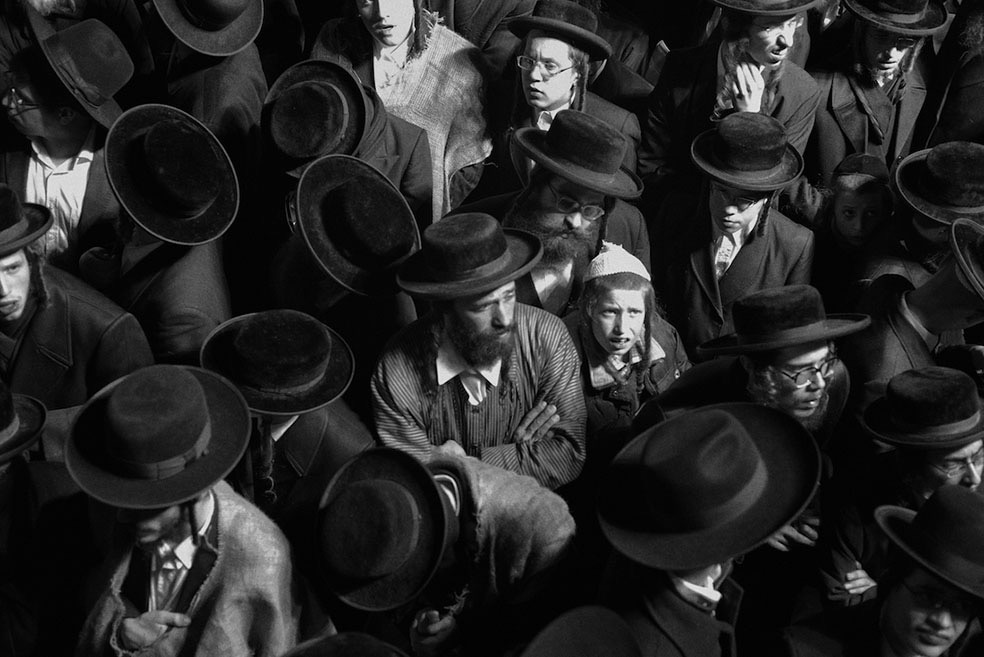
Coexistence © Ofir Barak

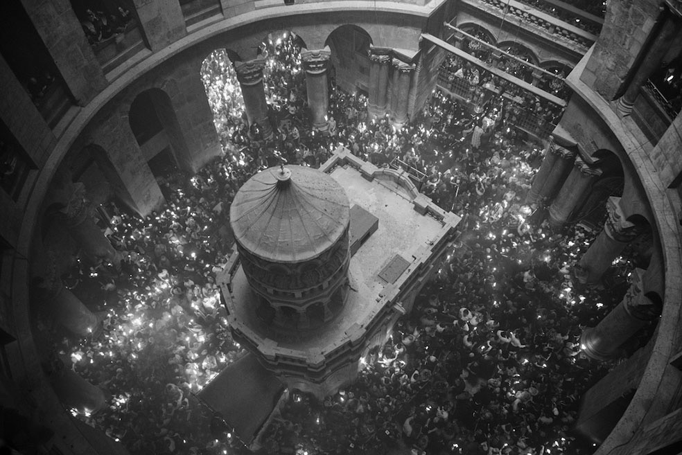
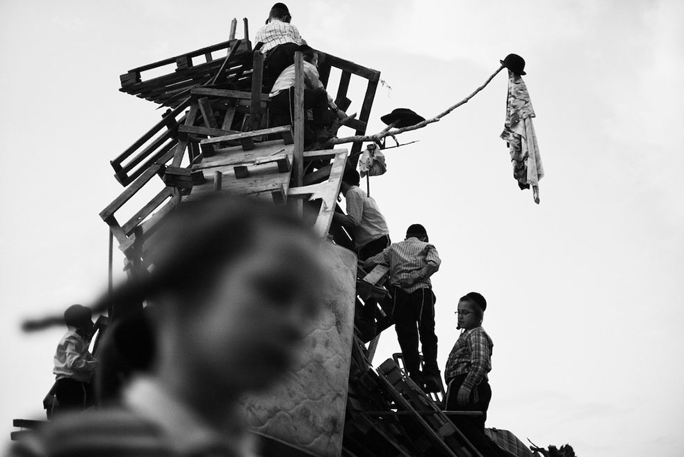
Coexistence © Ofir Barak
Coexistence © Ofir Barak
Coexistence © Ofir Barak
Coexistence © Ofir Barak
Coexistence © Ofir Barak

Coexistence © Ofir Barak
Coexistence © Ofir Barak